
When I awoke this morning, it was 39° F (3.9° C). What the heck? Isn’t it 11 August? When I finally rode out of town, after delaying with an extended breakfast and wearing everything I have, it was still only 44° F (6.7° C). Then, a few miles east of town, I found the sign that explained everything. One would really have to like the cold to live in this area.
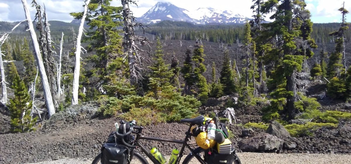
Climbing out of town I had Rogers Pass to go over. As passes go, it wasn’t that bad, it is 5611 feet high (1710 m) and I was starting from around 4500 feet (1371 m). Of course, my Florida lungs were screaming for oxygen, but after doing this for a month I didn’t have to get off and walk at all, I rode all the way to the top.
At the top, which is, coincidentally, where the Continental Divide Trail crosses, I met up with two motorcyclists from Alberta, Canada, Ken and Mike. They were riding a big Harley Davidson and a big BMW. We talked at length about riding and motorcycles and a bit about hiking. It was a great excuse for me to catch my breath. We said our goodbyes and then I took a few photos.

A number of hiking friends have hiked the CDT and some have even ridden it on mountain bikes. As I was taking photos, I talked to a hiker that had just been dropped off there, “Knotts,” and he told me he only had three hundred more miles to walk to finish the CDT. Only a true hiker would claim to have “only” three hundred more miles. We are out of our minds. Looking at “Knotts,” I think I figured out why the name; he had a head full of dreadlocks that would have made Bob Marley jealous.
The good news about reaching a pass is that there is usually a good downhill afterwards, and this was no exception. This downhill was actually a bit scary. Some of the turns were quite tight. Missing the turn meant a thousand feet of flight before hitting anything. I kept thinking about a blown tire and what a disaster that could be. Then again, I was grinning all the way down at 45 MPH.
The pass is a demarcation line for the forest, the terrain now becomes more like the upper mid-west. As far as the eye could see was open prairie and rolling hills, brown vs. green, and wide open space. I was officially leaving the Rocky Mountains.
The rest of the day was spent climbing up and down rolling hills. At one point the Adventure Cycling maps take the rider to Augusta, Montana. There is clearly a more direct route to Great Falls, my goal, but the map routed me to Augusta first. I was tempted to just take SR200 directly to Simms, but I figured they must have a good reason.
The twenty miles up to Augusta was hot and hilly. The scenery was nice and that was some redemption, but I can’t say it was worth the extra miles.

When I arrived in Augusta, my first chore was to find a place to stay. There is a place called the “Bunkhouse Inn,” but it had a “No Vacancy” sign, a “For Sale” sign, and looked abandoned. The only other choice was a place just down the road that was both motel and campground.
The campground was a wide-open space in the hot sun, no shade to be found at all. When tent camping, shade is needed, otherwise the tent becomes a portable oven. Even though the room was expensive, I opted for it. WiFi and air conditioning were definite draws. The room was nothing to write home about, so I won’t.
I went down the road to Mel’s diner and had dinner and desert (hot fudge sundae). I walked around the town a bit. It seems so many of these small towns in this area of the world are just hanging on. Most of the businesses, whether operating or not, have For Sale signs. I talked to one of the patrons in Mel’s and she told me that the businesses that are still open are actually doing very well but the owners are getting old and just want to retire. The younger folks head off to the bigger cities and there just isn’t anyone around that wants to pick things up.
After a brew at the local cowboy bar, it was back to the room and a good night’s rest. Tomorrow: Great Falls, Montana.
hey dennis and jane-
i just stared reading jane’s book about the camino.
wow, i am really impressed-tons of background material and
great interviews.
about the ride- first too hot and now too cold- a real goldilocks dilemma,
i hope it turns out “just right” soon.
Yes, she is a good writer and the book is very informative for hiking the Camino, or just trying to understand why someone would walk it.
As for the weather, yes, I could use some Goldilocks.